USGS_2018_2019_take1
Greetings all,
It has been a year since I have posted into my blog, but that doesn’t mean I haven’t been busy doing all sorts of interesting things!!! I meant to have a slideshow of the 3-months of wood school I was in OCT-JAN 2018 – @ The Center for Furniture Craftsmanship in Maine, but things have been busy. Eventually, my new blog “sliding dovetails” will begin to chronicle my wood work. Today’s post is a compilation of images (and some videos – more in take2/part2) from the past two years’ field seasons in San Diego working for USGS. As there are restrictions at USGS and federal GOV to posting social media where the USGS emblem appears, I am trying to limit this video as best I can to those who work with me and just followers (who are almost all family/friends). (I may have to send a private password for the Vimeo video server to limit who views these slide-shows, so be prepared.)
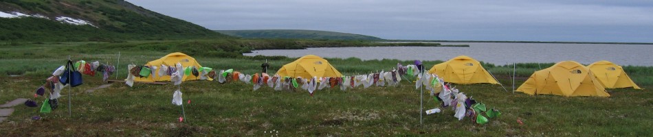
It was another good and tiring field season this year down in San Diego. Due to a very wet winter, the areas we survey for Least Bell’s Vireos (LBVIs) and Southwestern Willow Flycatchers (SWFLs) were a lot wetter than all previous seasons I have worked on this project (this was season 6 for me in last 7 years). You will see in the images that the Santa Margarita River was flowing most of the season and side tributaries as well were also wet (DeLuz and Roblar creeks). The vegetation, as a result of winter rains and wet soils, was happy – and as a result of that and perhaps because it seemed like a cooler year in SD County, the Vireos had a productive year. Up at Lake Henshaw, one of the survey areas for SWFLs, the reservoir had filled up quite a bit and that made for surveys by boat instead of just by foot. The flycatchers seemed to have a good year up there as well. The 5-month field season is for sure a tiring one with LBVI and SWFL surveys to be done almost every day of the week for most of the crew (others also monitor Coastal Cactus Wrens). Interspersed with the surveying for our birds, some of us work 3 MAPS stations on a weekly basis at the Tijuana Estuary and at Marine Corps Base Camp Pendleton (MCBCP). MAPS used to be done at 5 sites in previous years, but that work has cut back little in past years. The images I put together run in a order of sorts. There are habitat photos taken during surveys at various locations, then some of our MAPS captures, and in part 2 there will be some more survey images, some bonus videos of wildlife encountered during the season (other than birds), and since the season always ends with vegetation work, there are a few photos of that….we end the season by compiling all of our survey data into data summaries which then is analyzed by the office after field-season ends…..we started work March 18th this year and ended August 16th. There are a few photos from 2018 field season mixed into the two parts I am posting to consolidate the two years…..I am now back in Davis, CA in the wonderful and typical 100 degree days of summer heat. Luckily the local pool I use is open 7 days a week and I can bike over there to keep from melting and to keep those field-work muscles preserved!!!


")

Oh, Devin, I love these so! Watching your videos makes me want to work here. Oh, wait.
August 27, 2019 at 1:53 PM
Thanks so much for including me in all your activities! Very exciting and great pictures. Keep them coming. I love them.
August 28, 2019 at 1:46 PM